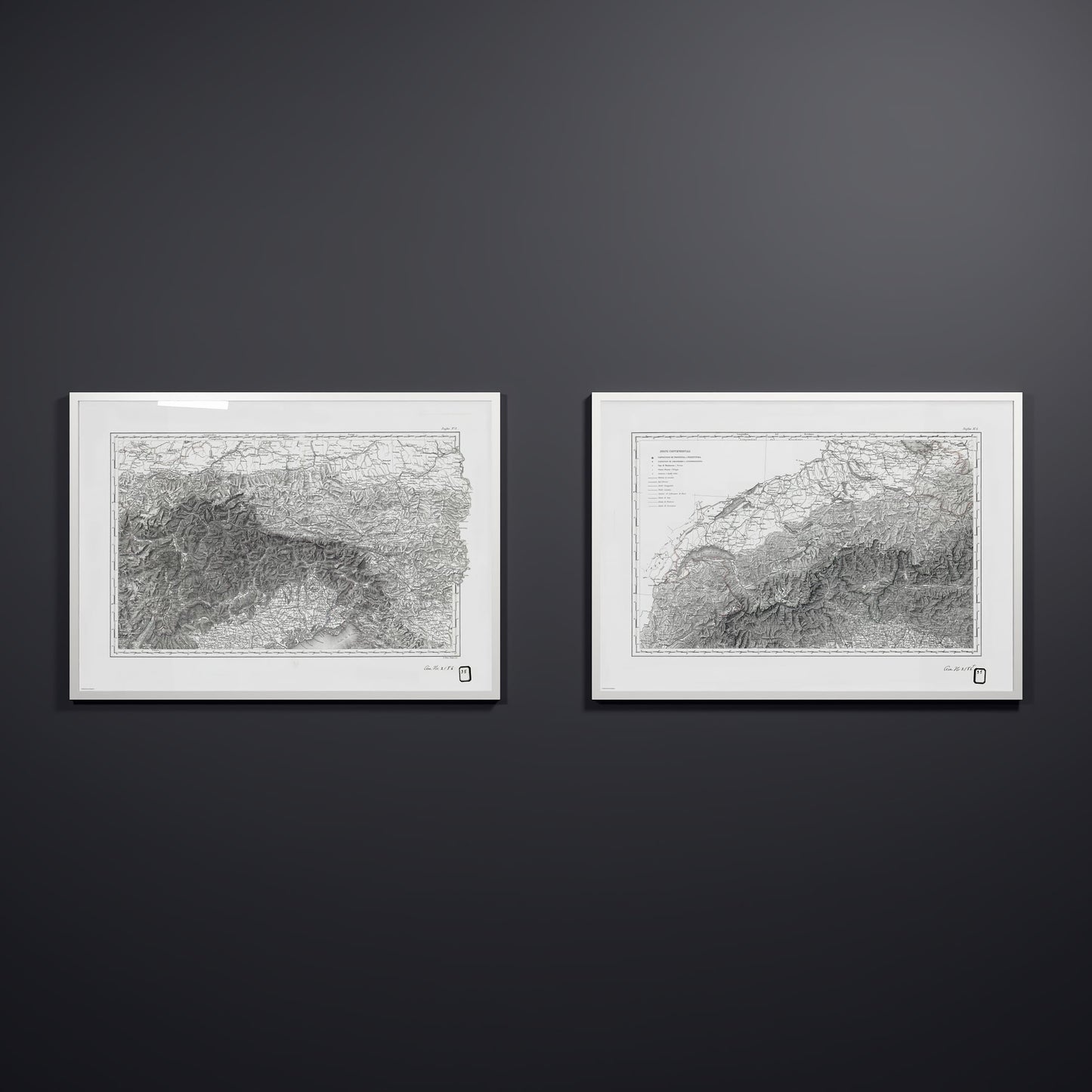

Alpi Italiano Diptych
The Alpi Italiano Diptych is a two-sheet Italian map of the Alps from the NOAA archives. The western sheet covers the range from Lake Geneva eastward across the Piedmont valleys, and the eastern sheet continues on to the Gulf of Trieste. Towns, roads, and boundaries are marked throughout, with a legend in Italian on the first sheet and the terrain drawn in shaded relief across both. Each sheet carries the library stamp of the Alaskan Boundary Tribunal, where these maps were once filed as reference material. Unearthed from the NOAA archives and restored by Coast & Horizon's cartographers, meticulously color-corrected. Printed on museum-quality matte paper — 250 gsm archival stock. Comes in 18x24, 24x36, 28x40, and A0 (33.1x46.8"), with black, natural wood, or white frames, and the customer receives both sheets, Alpi Italiano OVEST and Alpi Italiano EST, in the selected size and frame.
Couldn't load pickup availability
- Free Shipping
- FSC-certified
Share

Ready-to-hang
Designed with elegant margins by our cartographers and printed on master’s edition, museum-quality 250 gsm (110 lb) paper—off-white, uncoated, and chosen for its exceptional archival quality.
Our ready-to-hang premium wooden frames, handcrafted from responsibly sourced oak or ash, showcase unique natural grain patterns, adding warmth and character to every piece.