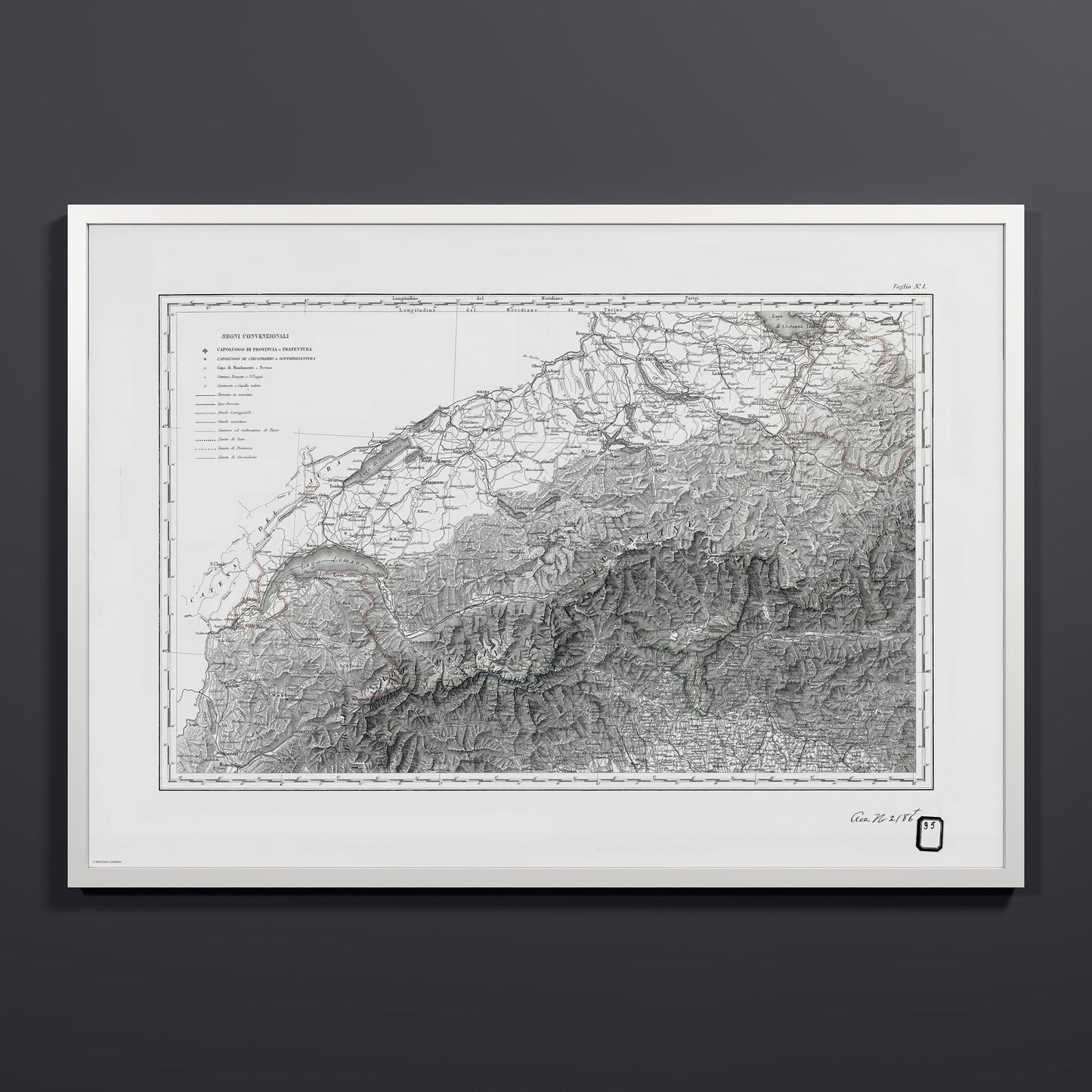

Alpi Italiano OVEST
Alpi Italiano OVEST, the first sheet of an Italian map of the western Alps. It covers the ground from Lake Geneva and the Jura in the west to Lake Constance and Lake Como in the east, with Bern, Zurich, Geneva, and Bergamo all named on the sheet. The lower half is taken up by shaded relief of the Pennine, Lepontine, and Rhaetian Alps, with Monte Bianco marked among the peaks and provincial boundaries traced in red and blue. A legend in Italian lists the symbols for railways, carriage roads, mule tracks, and footpaths. A stamp in the upper corner shows the sheet was later kept in the U.S. library of the Alaskan Boundary Tribunal. Unearthed from the archives and restored by Coast & Horizon's cartographers, meticulously color-corrected. Printed on museum-quality matte paper, 250 gsm archival stock, and available in 18x24, 24x36, 28x40, and A0 (33.1x46.8"), with black, natural wood, or white frames.
Couldn't load pickup availability
- Free Shipping
- FSC-certified
Share

Ready-to-hang
Designed with elegant margins by our cartographers and printed on master’s edition, museum-quality 250 gsm (110 lb) paper—off-white, uncoated, and chosen for its exceptional archival quality.
Our ready-to-hang premium wooden frames, handcrafted from responsibly sourced oak or ash, showcase unique natural grain patterns, adding warmth and character to every piece.