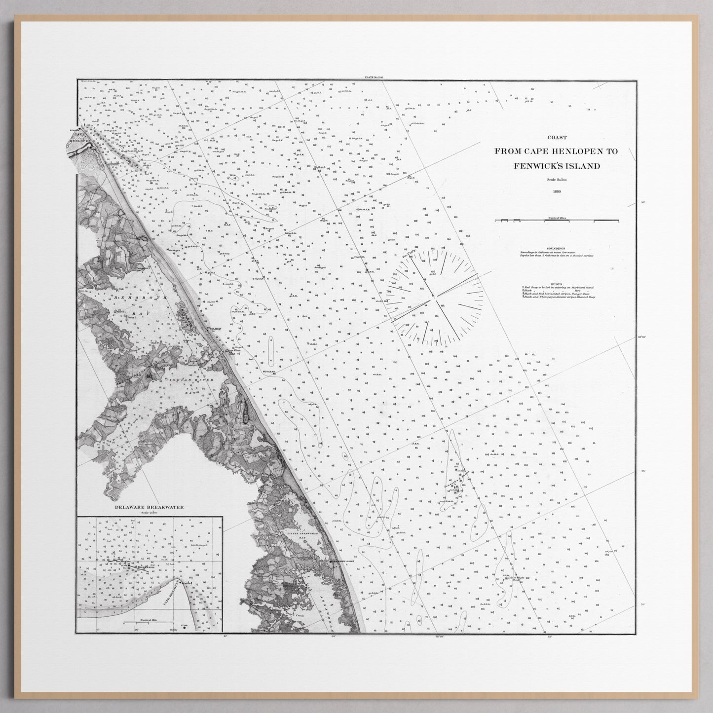
Cape Henlopen to Fenwicks Island 1880
1
/
of
5
Historical map print - copy generation required
Quantity
Regular price
$75.00 USD
Regular price
Sale price
$75.00 USD
Shipping calculated at checkout.
Couldn't load pickup availability
- Free Shipping
- FSC-certified
Share


Ready-to-hang
Designed with elegant margins by our cartographers and printed on master’s edition, museum-quality 250 gsm (110 lb) paper—off-white, uncoated, and chosen for its exceptional archival quality.
Our ready-to-hang premium wooden frames, handcrafted from responsibly sourced oak or ash, showcase unique natural grain patterns, adding warmth and character to every piece.


