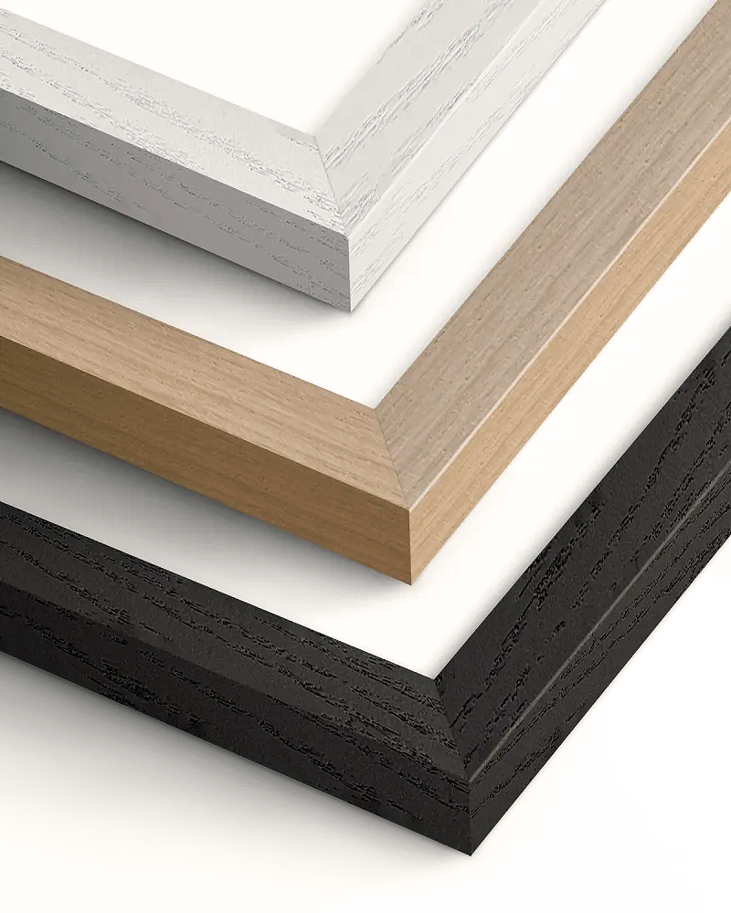
Jamaica Bay And Rockaway Inlet 1924
**Jamaica Bay And Rockaway Inlet 1924** This U.S. Coast and Geodetic Survey chart documents Jamaica Bay and Rockaway Inlet, New York, capturing the complex waterways and barrier islands of this critical maritime gateway to Brooklyn and Queens. The survey reveals the intricate network of channels, marshlands, and shallow waters that made navigation challenging in this heavily trafficked approach to New York Harbor. Printed with exceptional clarity, showing fine detail in the depth soundings and coastal features.
Couldn't load pickup availability
- Free Shipping
- FSC-certified
Share

Ready-to-hang
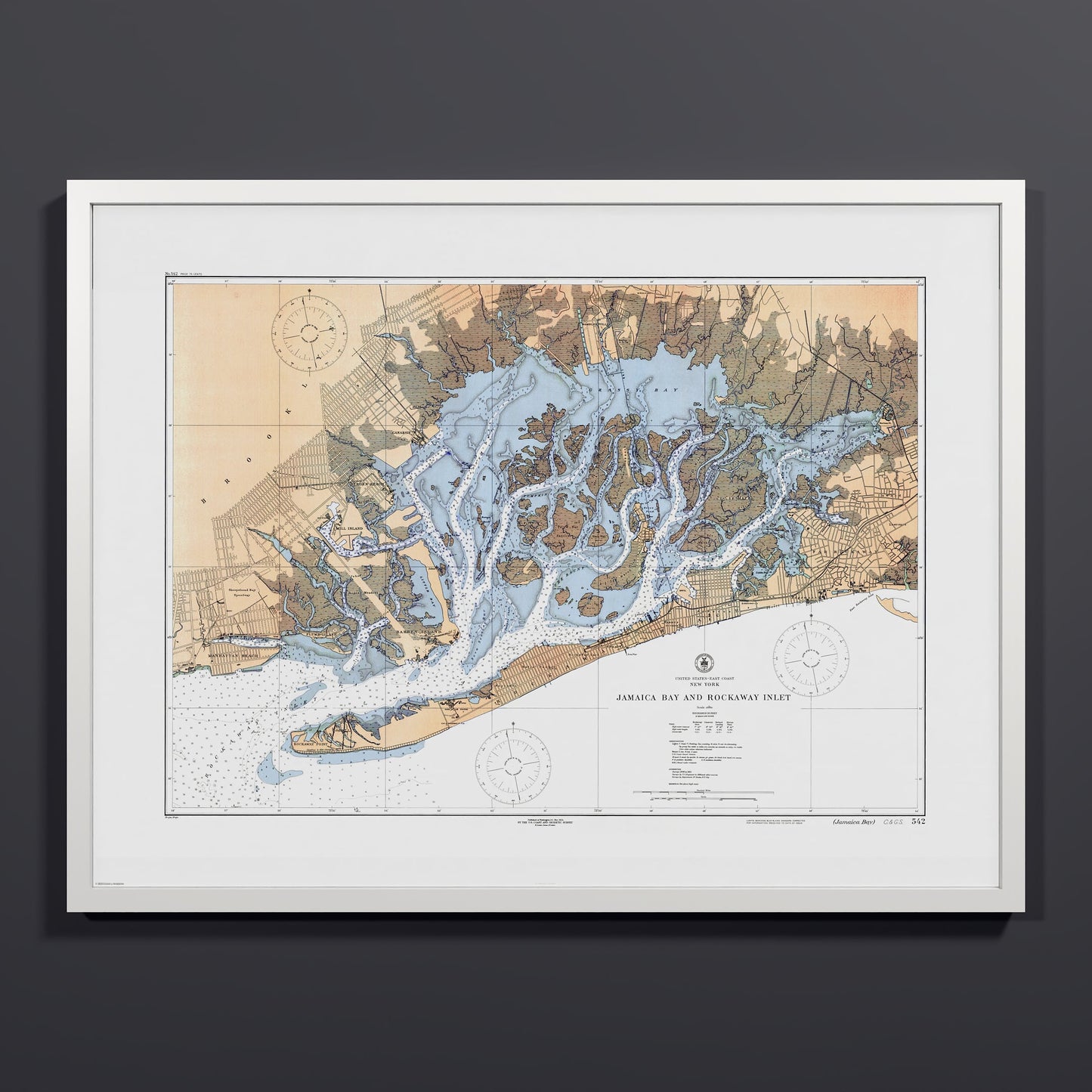
Designed with elegant margins by our cartographers and printed on master’s edition, museum-quality 250 gsm (110 lb) paper—off-white, uncoated, and chosen for its exceptional archival quality.
Our ready-to-hang premium wooden frames, handcrafted from responsibly sourced oak or ash, showcase unique natural grain patterns, adding warmth and character to every piece.