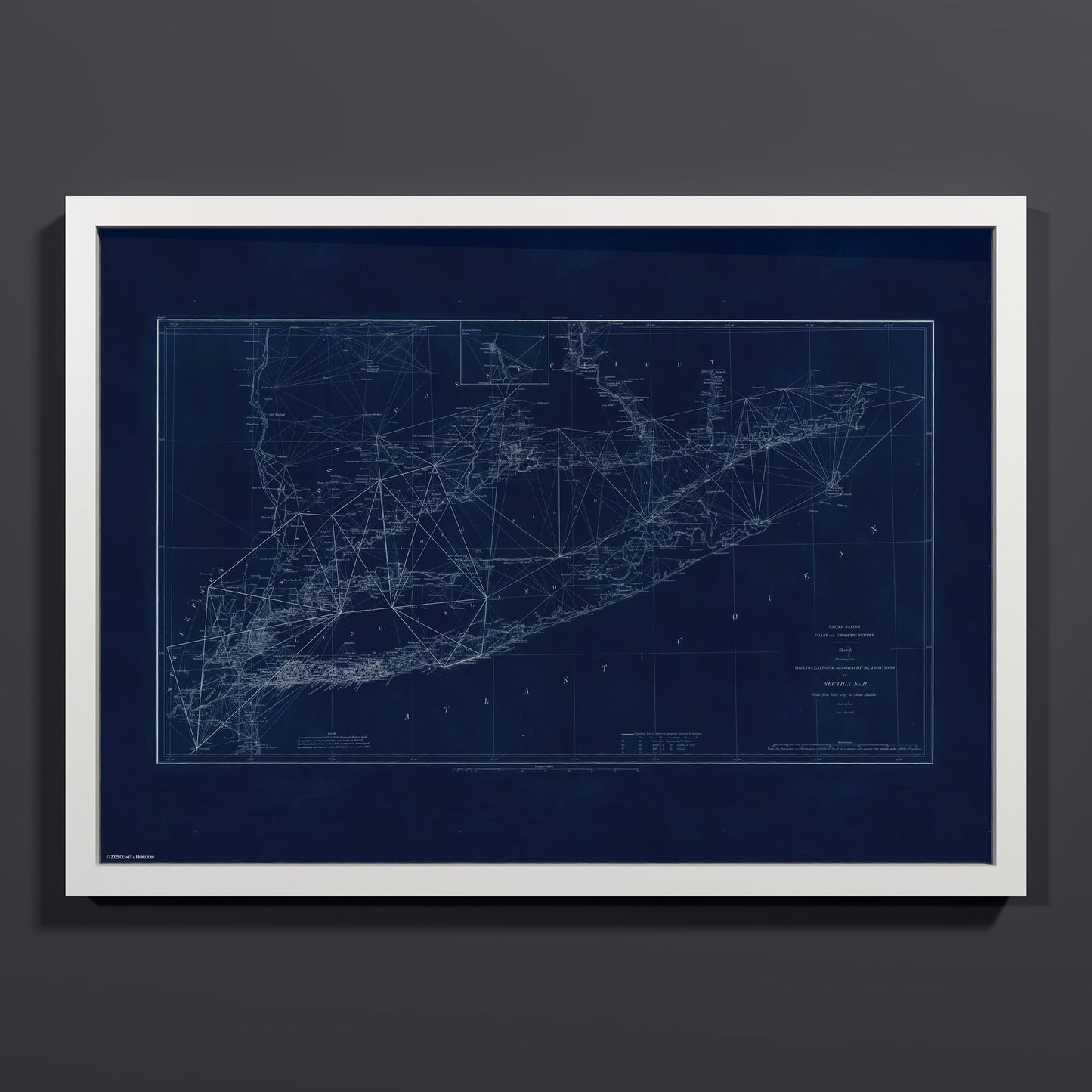

Long Island Sound Triangulation INDIGO
An 1881 sketch of triangulation and geographical positions from New York City to Point Judith, published by the U.S. Coast and Geodetic Survey. The sheet covers Long Island, Long Island Sound, and the Connecticut shore, with parts of New Jersey and the Hudson River valley, and it shows the network of straight lines drawn between the survey's occupied stations. Hundreds of station names are marked across the sheet, with a legend at the bottom explaining the symbols for churches, lighthouses, and signals, and an inset of the Hartford area at the top. The survey used these triangulation networks to fix exact positions along the coast, which became the framework for its navigational charts. This edition is presented in deep indigo. Unearthed from the NOAA archives and restored by Coast & Horizon's cartographers, meticulously color-corrected. Printed on museum-quality matte paper, 250 gsm archival stock. Comes in A2 (16.5x23.4"), 24x36, and 28x40, with white, black, or natural wood frames.
Couldn't load pickup availability
- Free Shipping
- FSC-certified
Share

Ready-to-hang
Designed with elegant margins by our cartographers and printed on master’s edition, museum-quality 250 gsm (110 lb) paper—off-white, uncoated, and chosen for its exceptional archival quality.
Our ready-to-hang premium wooden frames, handcrafted from responsibly sourced oak or ash, showcase unique natural grain patterns, adding warmth and character to every piece.