Madeira 1600
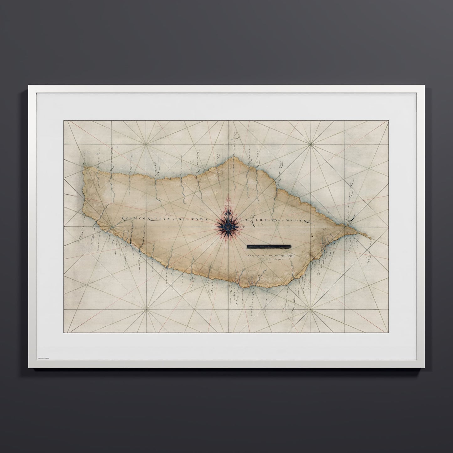
A 1600 chart of the island of Madeira from the NOAA archives, drawn in the Portuguese portolan style and titled Cosmographya de Toda a Ilha da Madeyra. It shows the full island, with rivers traced from the interior down to the coast and place names written in Portuguese along the shoreline. A single decorated compass rose sits at the center of the sheet, rhumb lines cross the whole chart, and a scale bar below the rose gives the measure in braças and leagues. Madeira was Portugal's first Atlantic settlement and a regular stop for ships bound south along the African coast. Unearthed from the NOAA archives and restored by Coast & Horizon's cartographers, meticulously color-corrected. Printed on museum-quality matte paper — 250 gsm archival stock. Comes in 18x24, 24x32, and 28x40, with black, natural wood, or white frames.
Couldn't load pickup availability
- Free Shipping
- FSC-certified
Share

Ready-to-hang
Designed with elegant margins by our cartographers and printed on master’s edition, museum-quality 250 gsm (110 lb) paper—off-white, uncoated, and chosen for its exceptional archival quality.
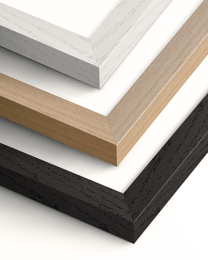
Our ready-to-hang premium wooden frames, handcrafted from responsibly sourced oak or ash, showcase unique natural grain patterns, adding warmth and character to every piece.